Getting here & getting aroundYour way to Hammersmith.
Four Tube lines, local buses and nearby rail connections.
Check before you set offThis is a route guide, not a live service feed. Check closures, diversions, station access and your return journey with TfL.
Plan ahead: 17–18 October
Piccadilly · Planned closureHeathrow & Uxbridge journeys
From 01:00 Saturday 17 October through Sunday 18 October, no Piccadilly trains between Hammersmith and Heathrow or Uxbridge, including Friday and Saturday Night Tube. TfL lists replacement buses and recommends the Elizabeth line for central London–Heathrow journeys.
Check TfL closure details ↗Southern · 17–18 OctoberNearby National Rail services
No Southern trains between Clapham Junction and Watford Junction. This affects Southern journeys via Kensington (Olympia) and Shepherd’s Bush. Check alternative routes before travelling.
National Rail engineering notice ↗ Selected confirmed notices, checked 14 October. Other line works and short-notice bus diversions may also affect your journey. All times are London local time.
Two stations. One name.
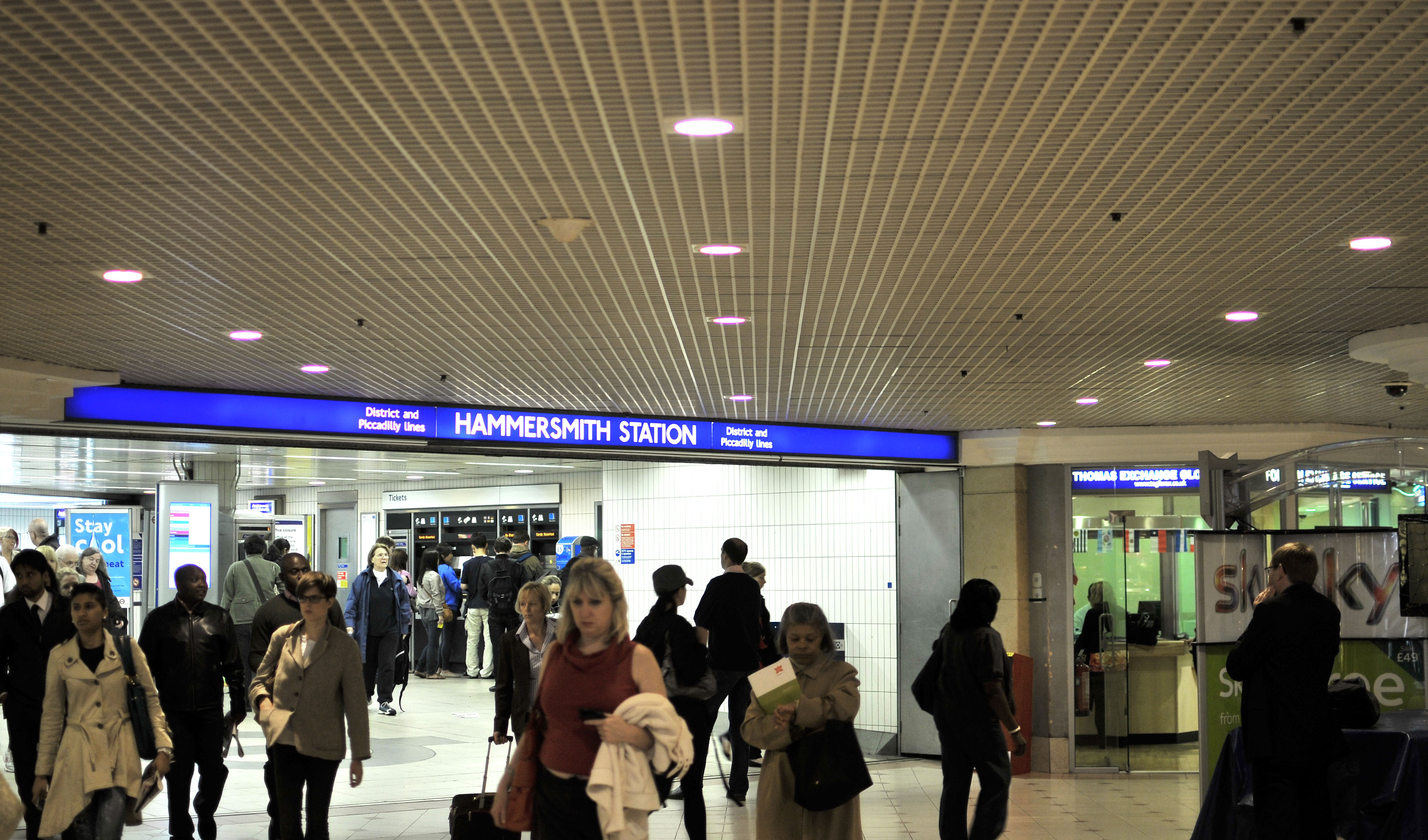
The two Hammersmith Underground stations are separate buildings. Follow street signs when changing between them.
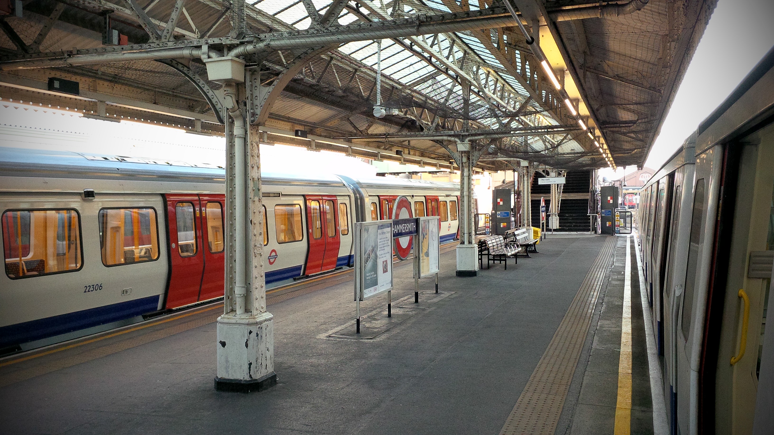
Hammersmith BroadwayDistrict & Piccadilly
Use this station for these two lines, including Piccadilly journeys towards Heathrow. Check the train destination and terminal.
Station, departures & access ↗Separate station across the roadCircle & Hammersmith & City
For routes via Paddington and Baker Street. Check the line and destination before boarding.
Station, departures & access ↗
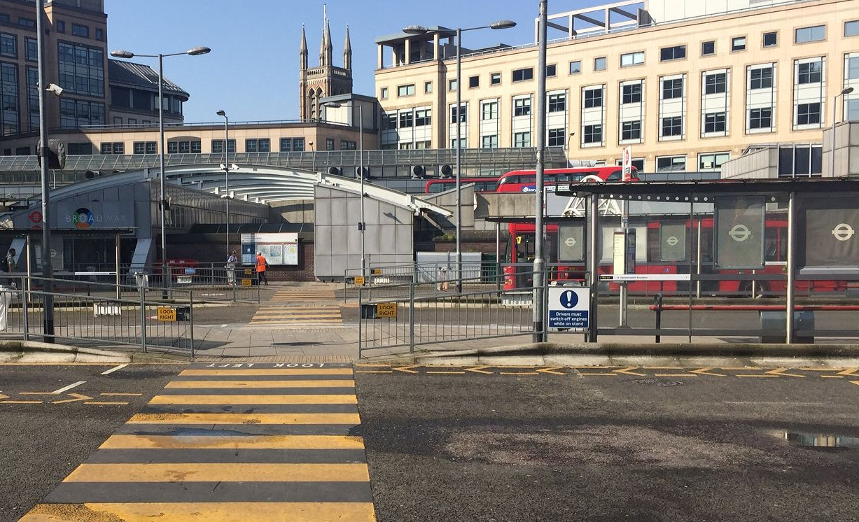
Find your bus stop
Day routes shown on TfL’s Hammersmith map, dated 15 August 2026. Stop letters depend on direction; click a route for the full stop list and current timetable.
| Route | Direction from Hammersmith | Stop letters |
|---|
| 9 ↗ | Aldwych | F |
|---|
| 27 ↗ | Chalk Farm / Hammersmith Grove | F, W / B, U, Z4 |
|---|
| 72 ↗ | East Acton / Bridge north side | A, Q, T / K, R, S |
|---|
| 110 ↗ | Hounslow | B, U |
|---|
| 190 ↗ | Richmond / West Brompton | B, N, U / C, M, W |
|---|
| 209 ↗ | Check current route and bridge arrangements | K, S |
|---|
| 211 ↗ | Battersea Power Station | C, M |
|---|
| 218 ↗ | North Acton | B, U |
|---|
| 220 ↗ | Willesden Junction / Wandsworth | A, N, Q / C, M, P |
|---|
| 267 ↗ | Fulwell | B, U |
|---|
| 295 ↗ | Ladbroke Grove / Clapham Junction | A, N, Q / C, M, P |
|---|
| 306 ↗ | Acton Vale / Sands End | B, U, Z4 / F, W |
|---|
| H91 ↗ | Hounslow West | B, U |
|---|
TfL map: upper/lower bus stations and street stops ↗
Check the map and stop display before boarding, especially during roadworks. This list covers the town-centre map, not every route across the wider borough.
Travelling late?
TfL’s published night map lists N9, N11, N27, N33, N72, N97, N266, plus 220 and 295. The map is dated September 2023: use current route pages to confirm service before relying on it.
Night bus stop map (2023) ↗
Nearby rail connections
Kensington (Olympia)
Mildmay line and Southern rail services. Continue towards Hammersmith by local bus or on foot. Check the timetable for any District line service.
Rail and local connections ↗Shepherd’s Bush
An alternative interchange north of Hammersmith: Central line and nearby Mildmay rail services. Plan the onward bus or walking connection.
Plan the connection ↗Other nearby Tube stops
Ravenscourt Park (District), Barons Court (District and Piccadilly) and Goldhawk Road (Circle and Hammersmith & City) may suit your destination better.
Compare stations on the Tube map ↗Coming from Barnes?
Hammersmith Bridge is closed to motor traffic. It is open to pedestrians and cyclists, subject to temporary works. Do not plan a bus journey across the bridge.
Council bridge update ↗Sources checked 14 October 2026 · See individual map dates above